The entire training weekend will be spent in the area of Grand Mesa on the western slopes of the Rocky Mountains. Grand Mesa is the largest flat-topped mountain in the world with an area of about 500 square miles.
Wildlife Of The Grand Mesa
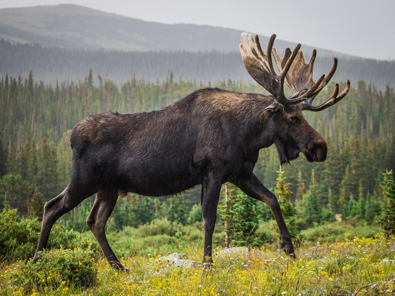
The Grand Mesa is home to Moose, Elk, Black Bear, Mountain Lion, Porcupine, Beaver, Muskrat, Striped Skunk, Gray Fox, Red Fox, Coyote, Bobcat, Mule Deer, Bighorn Sheep, Marten, Mink, Marmot, Weasel. We will go where the animals are and they will be our teachers.
Our instructor Matt Nelson will be scouting the area a day or two prior to the beginning of the training to find the areas with the best tracks for teaching.
Where Will Out Trainings Take Place?
All trainings will take place outdoors, in the wild. The only thing we know for sure is that the both days will be spent somewhere in the vicinity of Grand Mesa on the western slopes of the Rocky Mountain, most likely in the Uncompahgre, Gunnison or Grand Mesa National Forests.
Locations will be selected a day in advance by our instructor, Matt Nelson, who has spent many months on the mesa researching Mountain Lions, so he knows where to look to find the best selection of various animal track and sign.
Multiple Training Sites Are Probable
It is possible that we may visit one, two or even three different areas in the course of a day. They may be 5, 15 or 25 miles apart. It is also possible that one day will be at entirely different elevation than the other day to find the most diverse array of different animal sign. One day could be at high elevation and the other day at a lower elevation. We will go where the animals tell us to go.
Saturday Start Time and Google Maps
Matt will make a decision Friday late afternoon of when and where we will meet Saturday morning. The meeting time will likely be between 7 and 8am. Matt will email Terry and Molly a Google Maps with the coordinated of the time and location of the Saturday morning meeting site and Terry and Molly will email the information to all participants not later than 5pm Friday. Simply clicking on the pin on your handheld device will mark the location on Google Maps and provide driving directions and estimated driving time.
Much of the mesa is within Grand Mesa National Forest. Over 300 lakes, including many reservoirs created and used for drinking and irrigation water, are scattered along the top of the formation.
The Grand Mesa
The Grand Mesa, Uncompahgre and Gunnison National Forests are a combination of separate National Forests located on the western slope of the Colorado Rockies. These three combined Forests cover 3,161,912 acres of public land in the central and southern Rocky Mountains, an area that lies south of the Colorado River and west of the Continental Divide with some of the most spectacular scenery in the Rockies.
The Forests vary in elevation from 5,800 feet above sea level in Roubideau Creek Canyon to 14,309 feet on Uncompahgre Peak.
The Forests include spectacular features like the 355 foot high Bridal Veil falls; the Grand Mesa with over 300 lakes, one of the world’s largest flat top mountains; and Alpine Tunnel, once the highest railroad tunnel in North America.